


Multimedia bog nature trail in Raddusch and the surrounding area - discover 10,000 years of the earth's history
für die deutsche Version hier klicken
Dear Visitors,
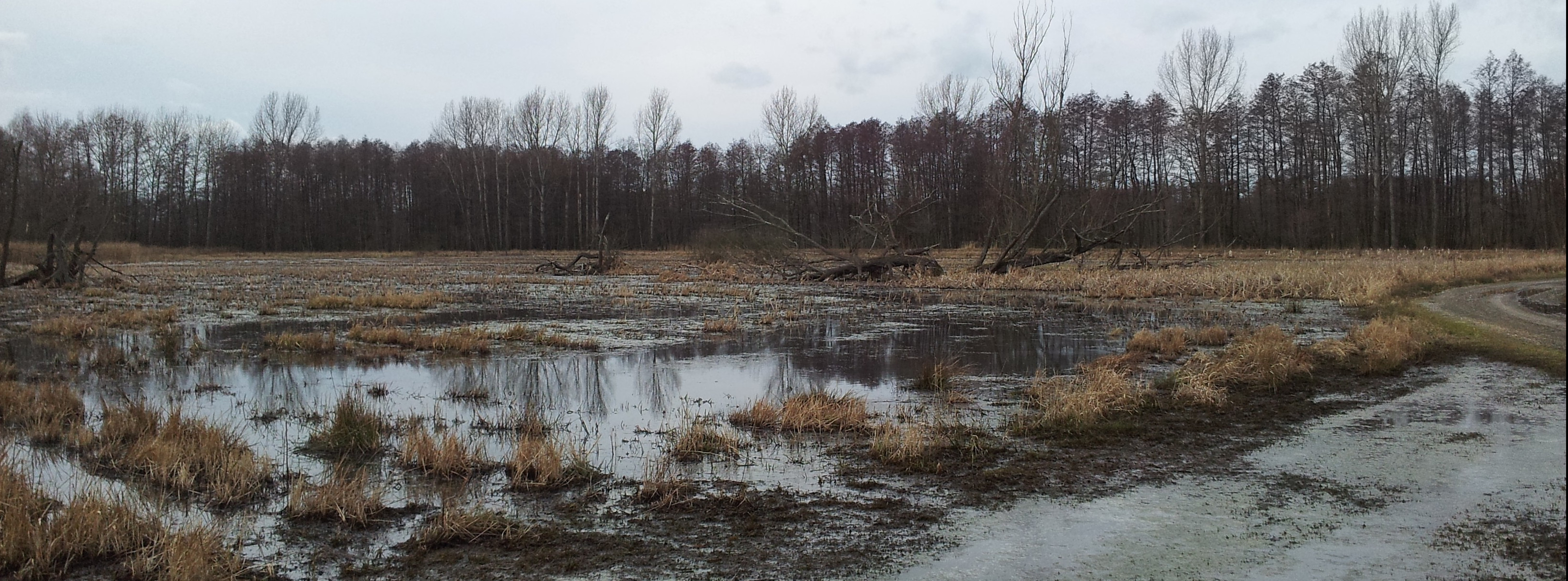
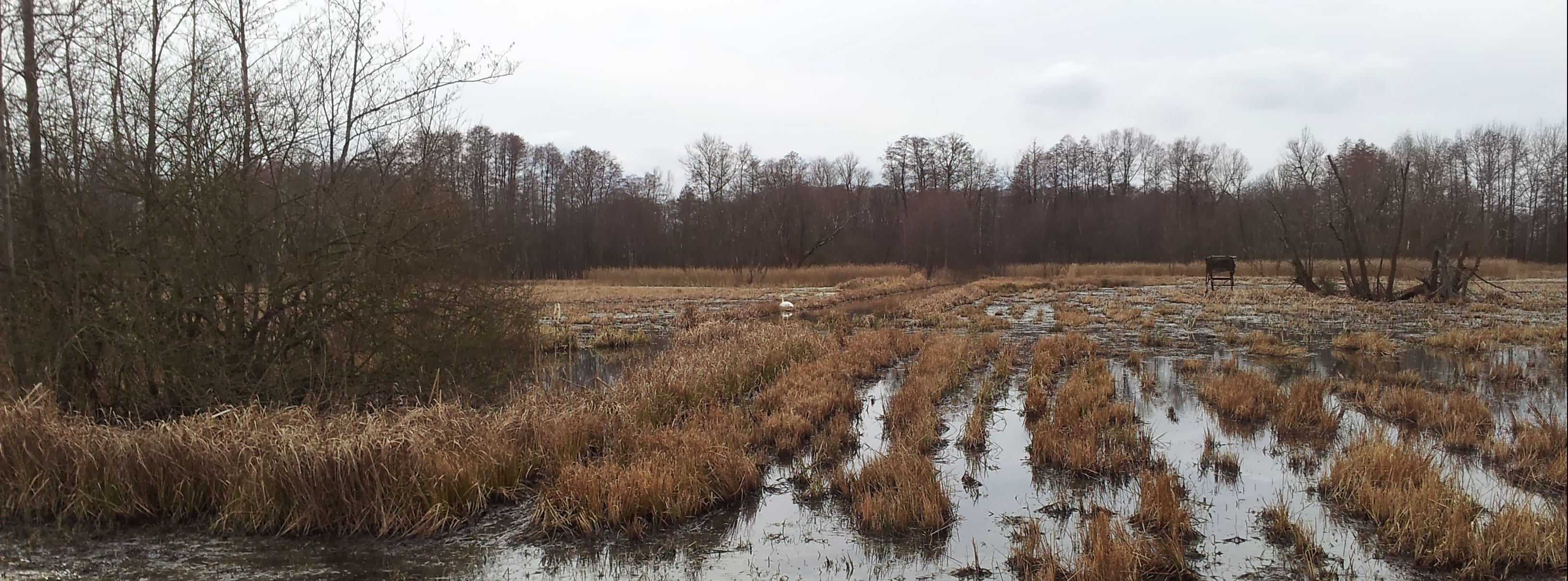
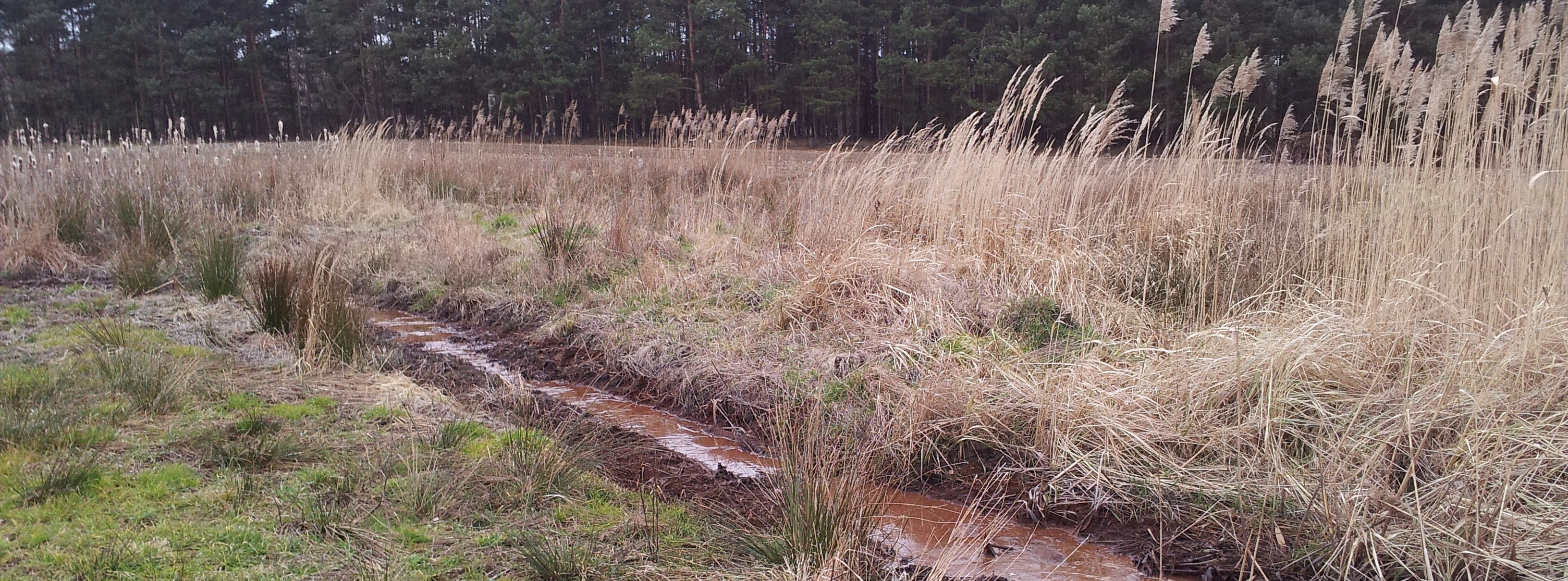
Bogs are habitats that connect land and water, and are therefore considered some of the most unique, species-rich, and fascinating ecosystems that exist. Here in the Spreewald you will find some of the last few near-natural bogs in Germany.
Bogs are often stereotyped as being eerie, swampy, unspoiled landscapes. But with the Multimedia Bog Nature Trail in Raddusch and its Surroundings, we want to challenge this idea and show you the breadth and diversity of these habitats.
Thanks to modern media, the Bog Nature Trail is able to be successful with discreet signage, which helps us to accomplish our goals in an especially sustainable and future-oriented way. This is also why the Multimedia Bog Nature Trail was awarded first prize in the category "Sustainable Tourism—Enjoying Nature" by the "Natürlich. Nachhaltig. Wir in Brandenburg" competition.
We wish you an exciting, informative, and restorative visit in our Spreewald bog landscape.
Your Raddusch and Surroundings Tourism Association
Overview of the Bog Nature Trail
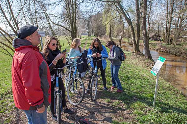
The Multimedia Bog Nature Trail is successful with only discreet signage thanks to modern media. Stations 2, 3, and 4 in the nature preserve consist of only small signs so as to limit their encroachment on the surrounding nature. The remaining stations outside the nature preserve, with the exception of station 5, consist of additional display boards. The new stations for the short cut do not yet have signs.
The mascots of the Bog Nature Trail are the BOFOs (Bog Frogs!). The mascots accompany you along your way—whenever you see the two on a sign, you've reached a bog!
You will find QR codes on the signs. By scanning these codes with your smartphone you will be taken to the brochure with the station descriptions and the trail map on the Raddusch Tourist Association website. Because internet connection is not always guaranteed and mobile carriers differ, we recommend that you download this brochure on your smartphone in advance. If you don't have a smartphone or would rather travel the path "analog," you are welcome to print out a copy of the brochure yourself at home, or you can obtain one from the tourist providers in Raddusch.
In preparation to take the trail, you can download the GPS-coordinates of the trail stations from the tourist office website and transfer them to your phone or a GPS device. Corresponding instructions are also available on this website.
For the Bog Station Descriptions, please click here.
Arrivals, Parking Options, and other Offers
The Bog Nature Trail is accessible from the towns of Lübbenau, Burg, Vetschau, and Raddusch.
Parking options for those traveling in personal automobiles can be found at 10 Dorfstraße and the Guesthouse "Zum Slawen" in Raddusch, or at the marina in Boblitz. A good starting point is also the parking lot on Bahnhofstraße in Raddusch by the train station.
Renting bikes (e-bikes too) is possible in Raddusch at the "Spreewald Hotel Raddusch" and at Gasthaus "Zum Slawen."
Dining is possible at the "Hafenhotel Raddusch," Gasthof "Zum Slawen," and at the Dubkowmühle. You will find a rest area at the Buschmühle.
Guided hiking and bike tours are available for groups from the Naturhafen in Raddusch. Please call the village chronicler Manfred Kliche at 035433/71141 to book a tour. After or during your tour, it is possible to further enjoy the Spreewald with a boat ride from the Dubkowmühle or Raddusch.
About
The Multimedia Bog Nature Trail was created in 2014 as a collaboration between the Raddusch and Surroundings Tourism Association and the Spreewald Biosphere. A revised version was completed in 2019 with the support of the Kulturlandschaft Spreewald Community Foundation and a Commerzbank environmental intern.
Publisher: Tourismusverein Raddusch und Umgebung e.V., Biosphärenreservat Spreewald
Text: Carola Sophia Launert
Version: Aktualisiert April 2022
English Translation and Audio Tour: Marta Rardin